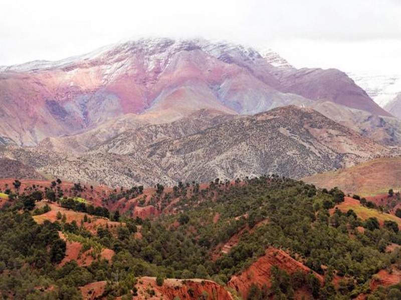

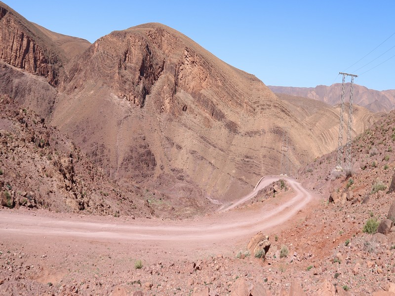
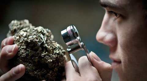
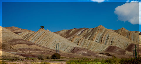
A short overview of the Anti-Atlas, Morocco
DR.Hervé Rezeau, DR.Cyril Chelle-Michou & DR.Michael Calder
SEG Student Chapter of Geneva (Switzerland)
SEG Student Chapter of Montpellier (France)
INTRODUCTION
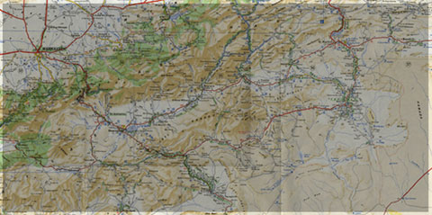
Geology of Morocco has been subdivided into four structural domains, from north to south they are the following: the Rif domain, the Meseta domain, the High Atlas, and the Anti-Atlas, as they are shown in (Figure 1).
The Rif Range extends along the Mediterranean coast from the Kabylian-Tellian belts up to the Strait of Gibraltar. South of it, the Meseta domain is located, where elevated plateaus and intramontane basins occur. Further south the High Atlas system is found, which displays several massifs close to 4000 m, including the highest peak of northern Africa (Jebel Toubkal). The Middle Atlas represents a branch of the Atlas system that extends obliquely across the Meseta domain, and exceeds 3000 m in elevation. Finally, the Anti-Atlas domain is found, which rises forming a massive mountain that achieves up to 2700 m. Further south the elevation decreases both southward and westward from ca. 1000 m to less than 200 m close to the Atlantic.

Figure 1: Elevation map of Morocco and neighbouring countries from GTOPO30 database (A. Michard et al. 2008)
GEOLOGICAL SETTING OF THE ANTI-ATLAS
The Anti-Atlas mountain belt is located in the northern part of the West African Craton (WAC). It is stretching NE-SW and is characterized by Precambrian to late Proterozoic rocks covered by younger sediments of Edicaran to Cambrian in age. The geological boundary between the Anti-Atlas and High Atlas is structurally marked by the South Atlas fault (SAF) (Fig.2). The Anti-Atlas massif is a zone of wide domal uplift with much weaker Alpine age deformation. The volcanics and conglomerates rocks from the Ouarzazate & Bou Salda group in the North-East are surrounding the older volcanics rocks
The Anti-Atlas mountain belt is located in the northern part of the West African Craton (WAC). It is stretching NE-SW and is characterized by Precambrian to late Proterozoic rocks covered by younger sediments of Edicaran to Cambrian in age. The geological boundary between the Anti-Atlas and High Atlas is structurally marked by the South Atlas fault (SAF) (Fig.2). The Anti-Atlas massif is a zone of wide domal uplift with much weaker Alpine age deformation. The volcanics and conglomerates rocks from the Ouarzazate & Bou Salda group in the North-East are surrounding the older volcanics rocks and turbidite sequences from the Sahgro Group and the Pan-African granite intrusions. This geomorphological feature is commonly called inliers (“boutonnière” in French) and is the result of an exposed older rock formation surrounded by younger rock, and is due to a high erosion rate of rocks with different hardness but also encouraged by deformation such as folding and faulting (Gasquet et al. 2005). Several slivers of ophiolites are present in the Anti-Atlas belt, the best preserved are situated in the Bou Azzer, Siroua and Iriri region, which represent remnant of an ocean closure. The basement is composed of schists, granites and mylonites of Paleoproterozoic age. The latest Variscan and Alpine orogenic events overprint most of the Anti-Atlas geological province and thus complicate the Pre- Cambrian geodynamic interpretation. However, two main periods of tectono-thermal magmatic activity (Gasquet et al. 2005) are now recognised :
(i)A Palaeoproterozoic period, corresponding to the Eburnean (Birimian) orogeny,
(ii)A Neoproterozoic period, corresponding to the Pan-African orogeny.

Figure 2: Schematic map of the Anti-Atlas Precambrian inliers (Boutonnière), and location of the maps, satellite views and lithospheric profile presented hereafter (Gasquet et al. 2008)
Source web : DR.Hervé Rezeau, DR.Cyril Chelle-Michou & DR.Michael Calder unige.ch
Les articles en relation
Géotourisme : Un tourisme de niche très peu développé
Géotourisme : Un tourisme de niche très peu développé * Le Maroc bénéficie de sites géologiques très variés mais peu visités par les touristes à cause de l
Savoir plus...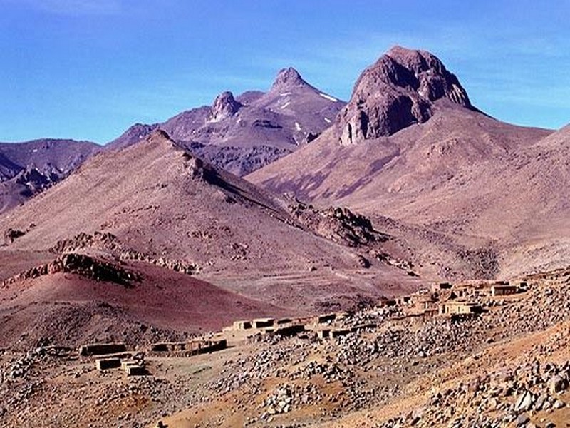
MASSIF DU SIROUA Hassan ADMOU & Abderrahmane SOULAIMANI
MASSIF DU SIROUA Hassan ADMOU & Abderrahmane SOULAIMANI Université Cadi Ayyad Faculté des Sciences Semlalia de Marrakech Socle panafricain, dé
Savoir plus...
Les marqueurs structuraux et magmatiques de l’extension crustale au Protérozoïque terminal–Cambrien basal autour du massif de Kerdous (Anti-Atlas occidental, Maroc)
Les marqueurs structuraux et magmatiques de l’extension crustale au Protérozoïque terminal–Cambrien basal autour du massif de Kerdous (Anti-Atlas occidental, Maroc) Par Abderrahmane Soulaimani, Abderrahim Essa
Savoir plus...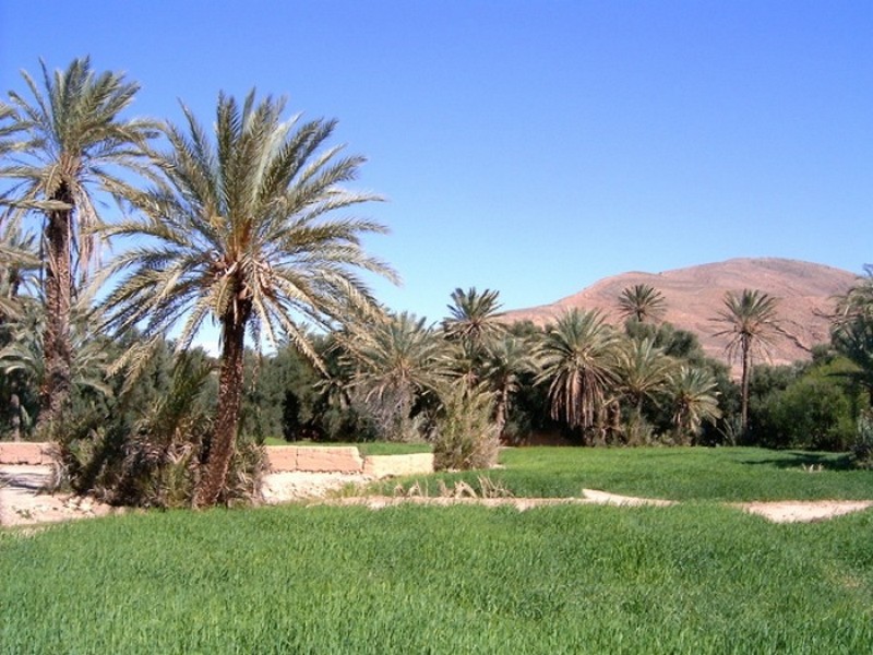
Ouarzazate colloque Espace oasien : Pour la préservation du patrimoine matériel et immatériel
Ouarzazate colloque Espace oasien : Pour la préservation du patrimoine matériel et immatériel Un énième colloque autour de l’espace oasien. Va-t-on aboutir à une politique d’inter
Savoir plus...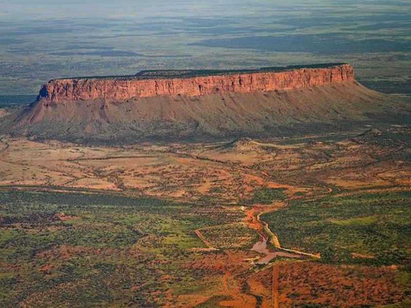
Context geoghraphique , geologique et hydrogeologique Professeur Bakkali Saad et Professeur Bouyalaoui Jaâfar Universidad de Guadalajara Guadalajara, México
Context geoghraphique , geologique et hydrogeologique Professeur Bakkali Saad et Professeur Bouyalaoui Jaâfar Universidad de Guadalajara Guadalajara, México La zone étudiée appartient géographi
Savoir plus...
A plate tectonic evolution of the Anti-Atlas on a global scale DR.Hervé Rezeau, DR.Cyril Chelle-Michou & DR.Michael Calder
A plate tectonic evolution of the Anti-Atlas on a global scale DR.Hervé Rezeau, DR.Cyril Chelle-Michou & DR.Michael Calder SEG Student Chapter of Geneva (Switzerland)&nbs
Savoir plus...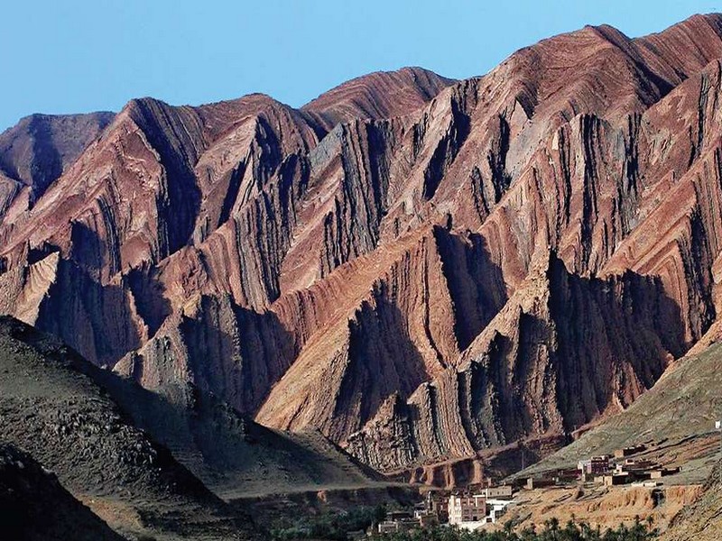
STRUCTURAL EVOLUTION OF THE ANTI-ATLAS DOMAIN :AN OVERVIEW pour Yves Missenard
STRUCTURAL EVOLUTION OF THE ANTI-ATLAS DOMAIN :AN OVERVIEW pour Yves Missenard The Anti-Atlas represents the most important segments of the major Pan-African (≈0.5Ga) belt system&
Savoir plus...
GEODYNAMIC EVOLUTION OF THE PAN-AFRICAN OROGENY
GEODYNAMIC EVOLUTION OF THE PAN-AFRICAN OROGENY Prof. Hervé Rezeau, Prof. Cyril Chelle-Michou & Prof. Michael Calder SEG Student Chapter of Geneva (Switzerlan
Savoir plus...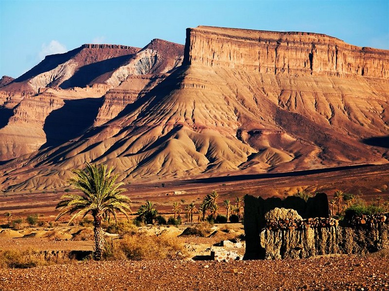
CADRE GEOLOGIQUE pour Charles Robert-Charrue
CADRE GEOLOGIQUE pour Charles Robert-Charrue Etat des connaissances Tectonique globale L’Anti-Atlas est situé sur la bordure nord du craton ouest africain (Figure 2, p. 3). Cette zone est particulière
Savoir plus...Les tags en relation
En savoir plus sur " Géologie et Jbel Bani "
Consulter les vidéos de " Géologie et Jbel Bani " Consulter les photos de " Géologie et Jbel Bani " Consulter les publications de " Géologie et Jbel Bani " Consulter les éditions de " Géologie et Jbel Bani " Consulter les communications de " Géologie et Jbel Bani "Recherche du site
Recherche avancée / Spécifique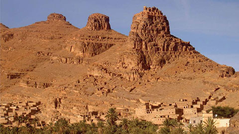
Géo éco tourisme inclusif
Le coins de l’étudiant

Blog Géoparc Jbel Bani
Dictionnaire scientifique
Plus de 123.000 mots scientifiques
Les publications
Géo parc Jbel Bani
Circuits & excursions touristiques
cartothéques
Photothéques
Publications & éditions